
The team from onX Maps loves to get out from behind the screens they use to build their digital products and explore the backcountry. We wanted to learn some tips about how they use the product for their own needs, so we turned to onX’s own, Cavan Williams, to gain some insight.
Below are some of the best scouting and navigating techniques that the onX team uses, which are perfect for your next backcountry adventure.
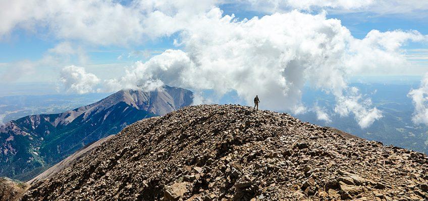
Scout It Out
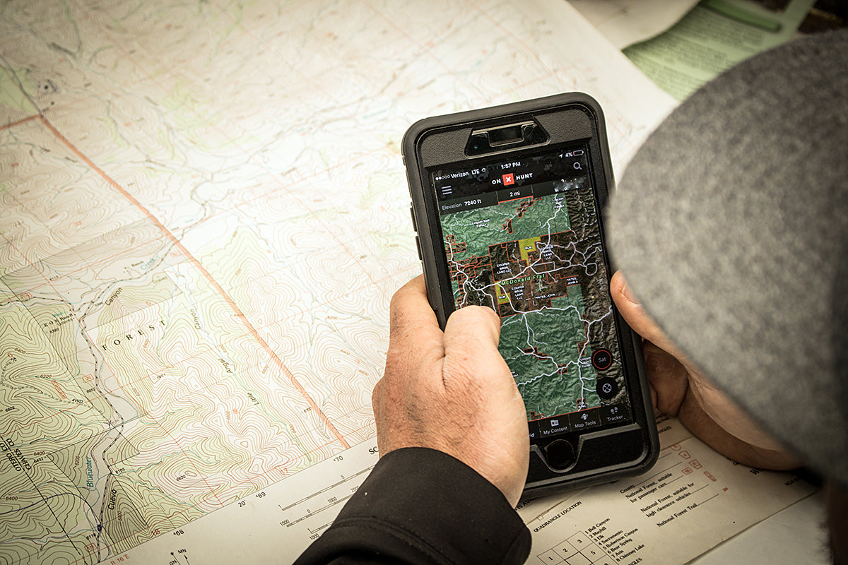
Whether it’s with the onX Hunt Webmap, or a traditional paper map, you need to get extremely familiar with where you’re going. Study the topographic lines, the drainages, trails, major peaks and other reference points on your map to give you point of reference when you finally take that first step off pavement. Using a map with topo lines and aerial imagery can greatly benefit you. Aerial imagery can show shale fields, lakes, and running water, and the topographic lines will give you an idea of steep sections, cliffs and plateaus. Speaking of topo…
Learn How to Read Topo Lines
Aerial maps are great for understanding what your area looks like in reality, but your topo map contains priceless information about elevation gains and losses. Your topo map will be the key to understanding significant features like saddles, peaks, gulleys and more. It is essential to know that lines close together mean steep elevation gains and losses, while lines further apart mean flatter grades. Use this knowledge for finding the easiest route between drainages, discovering new bowls and navigating around cliffs. That’s just the basics, though. Be sure to check out the onX Maps tutorial on understanding topo lines.
Pinpoint Landmarks
All too often in the backcountry, you see what appears to be a remarkably distinguishable object, that later you can never recount. Whether it was a rock near where a bear was feeding across the drainage, a deep bend in a creek where you hit 5 cutthroats on 5 casts, or something on the trail where you began to bushwhack. Your memory is fallible and almost certain to fail especially in an unfamiliar area. But if you take the time to mark these objects on your paper or digital maps they will always be available for future reference. This can also provide some piece of mind when you are exploring new territory.
Measure Everything
We love the unknown as much as the next explorer, but when it comes to navigating, knowing your exact distance is priceless. The onX Hunt Line Tool gives us the power to know exactly how far the creek is from the trail, or how far we have to travel to get the giant rock where we last saw that bull elk. With the ability to create as many joints in a line as you wish you can get a decently accurate distance to that spot, rather than just the straight line “as the crow flies” distance. This saves you from hiking behind a headlamp beam by giving an accurate portrayal of just how long it is going to take to get where you want to go.
Know the Classics
Some of the best ways of orienteering are the oldest. Make sure you are familiar with the night sky well enough to find Polaris A.K.A the North Star. Of course, this doesn’t do you much good without reference, so also make sure you have studied the direction on your map, or before you go. Simply being able to find north lets you know all other directions and can give you the knowledge of which direction a stream is flowing, or the ability to distinguish different peak, or even find your way out in a dire situation.
onX Maps Podcast
To learn more about onX Maps, listen to our #HuntBackcountry podcast episode with Zach from onX…
Subscribe in iTunes | Subscribe via Stitcher | Listen / Download at Sound Cloud